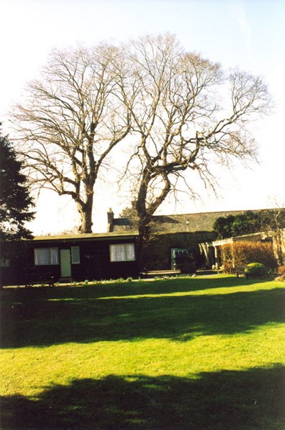
 Pic 10114: Oldest tree in Dornoch prior to removal 2003
 Pic 10115: Oldest tree in Dornoch in the Castle Hotel grounds prior to removal
 Pic 10116: Bride at garden entrance of Dornoch Castle Hotel
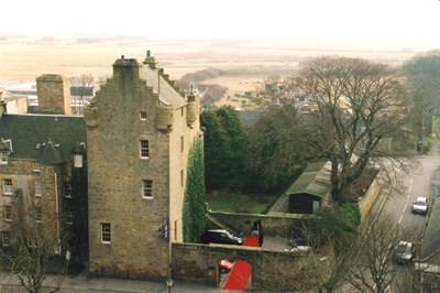
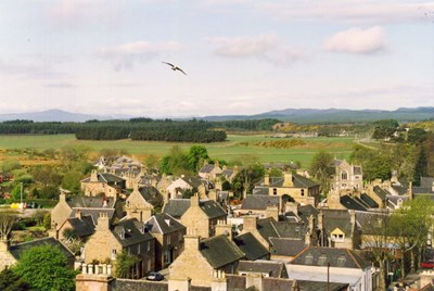
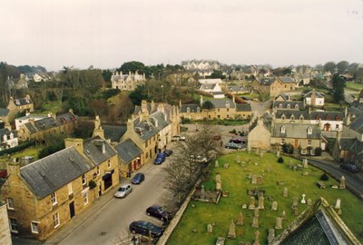
 Pic 10117: View from Cathedral tower to the south-west, Castle St foreground
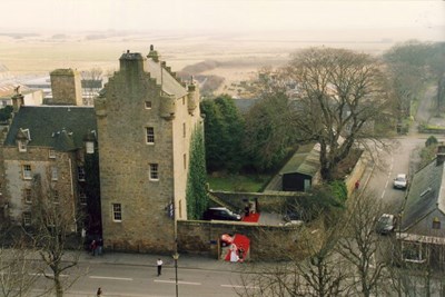
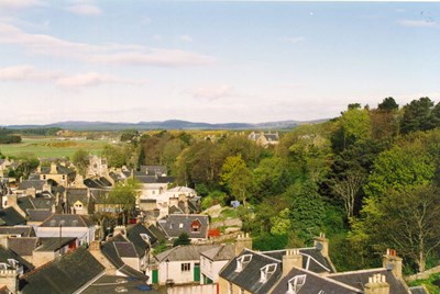
 Pic 10118: View from Cathedral tower to the west
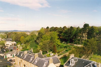
 Pic 10119: View from Cathedral tower to the west-north-west
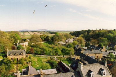
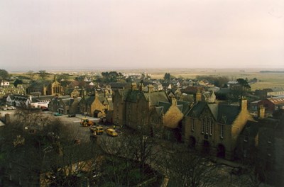
 Pic 10120: View from Cathedral tower to the north-west to the Bughfield Hotel
 Pic 10121: View from Cathedral tower looking north over the High Street
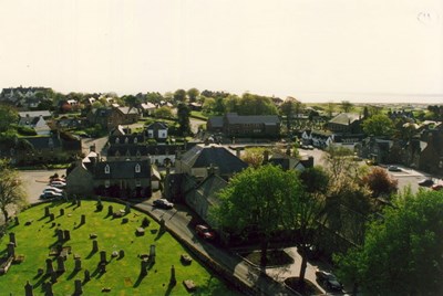
 Pic 10122: High Street and Cathedral cemetery from Cathedral tower
 Pic 10123: View from the Cathedral tower looking east
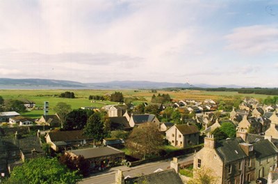
 Pic 10124: View from the Cathedral tower looking south east to Dornoch Square
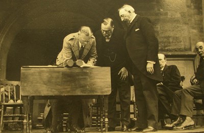 Pic 10125: Photograph of Duke of Sutherland signing papers
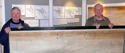 Pic 10180: Exhibition derived from David Aitken's Plan of Dornoch 1784
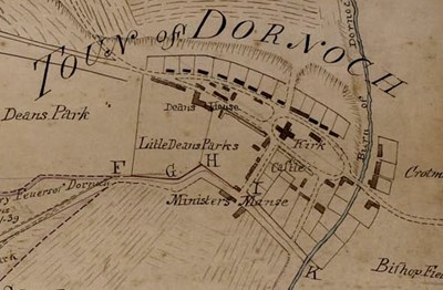 Pic 10181: David Aitken's Plan of Dornoch 1784
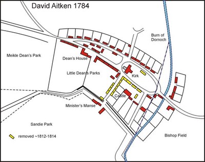 Pic 10182: David Aitken's Plan of Dornoch 1784
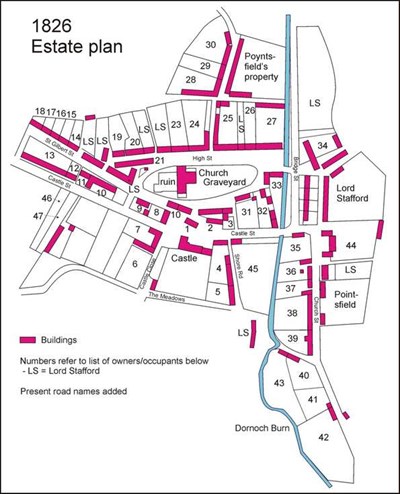 Pic 10183: 1826 Estate Plan of Dornoch
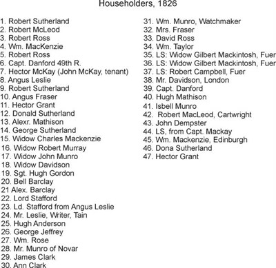 Pic 10184: Dornoch householders 1826
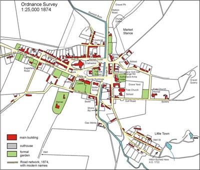 Pic 10185: Reproduction of Ordnance Survey map of Dornoch 1874
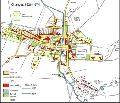 Pic 10186: Dornoch developments between 1826 - 1874
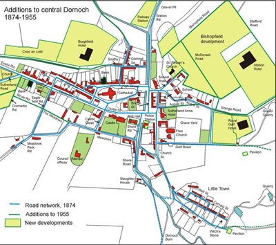 Pic 10187: Dornoch additions 1874 -1955
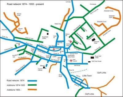 Pic 10188: Dornoch Road Network 1874 -1955
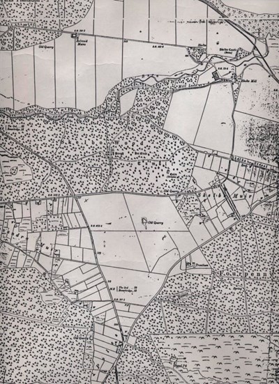 Pic 10201: Ordnance Survey map covering Skelbo Muir and Embo c 1905
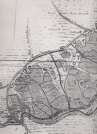 Pic 10202: Sutherland Estate map showing Ballvraid and pasture to west
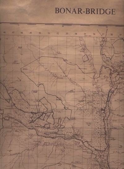 Pic 10203: Ordnance Survey Map of Bonar Bridge 1966