Ordnance Survey Map of Bonar Bridge 1966
Date Added: 06 June 2011
Year: 1966
Institution Name: dnhhl
Cat No: ◀ | 2011_046_01 | ▶
Picture No: 10203
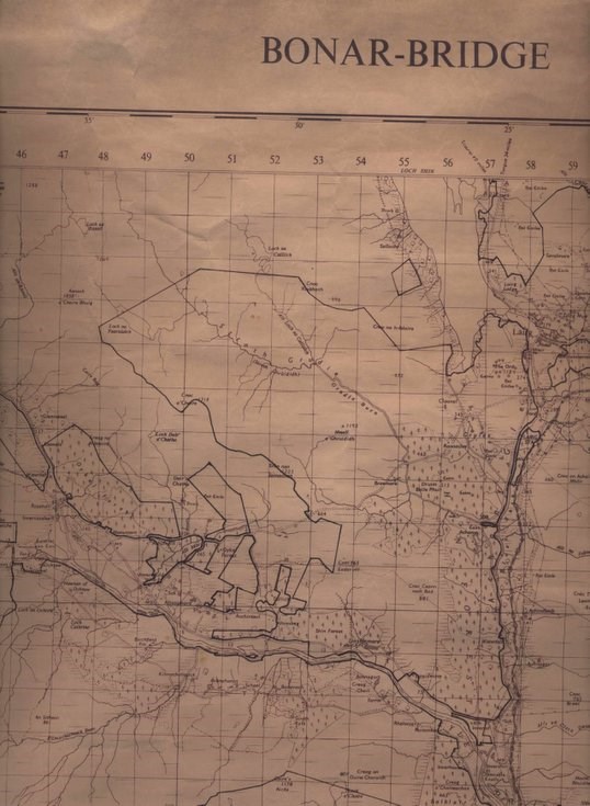
Copy of Ordnance Survey one inch to one mile map, Sheet 21 of Bonar Bridge reprinted in 1966. The majority of forest areas have been outlined with a black line, denoting Forestry Commission plantations.
Dimensions: Width 700 mm - Length893 mm
Comments
Form Goes Here