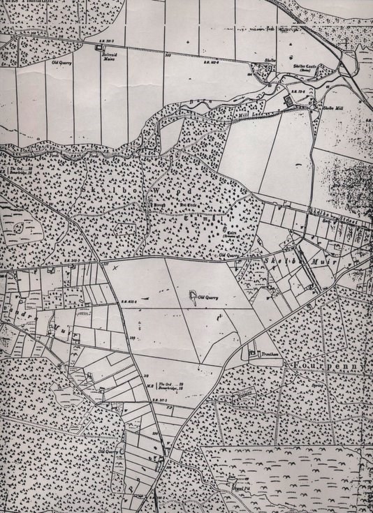
Ordnance Survey map covering Skelbo Muir and Embo c 1905
Date Added: 06 June 2011
Year: 1905
Institution Name: dnhhl
Cat No: ◀ | 2011_051 | ▶
Picture No: 10201
Copy of part of the Ordnance Survey map 25 inch to the mile covering Skelbo Muir and Embo. It includes the line of the Dornoch Light Railway.
Dimensions: A3
Comments
Form Goes Here