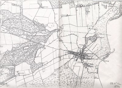
 Pic 13173: Dornoch Parish map 1874
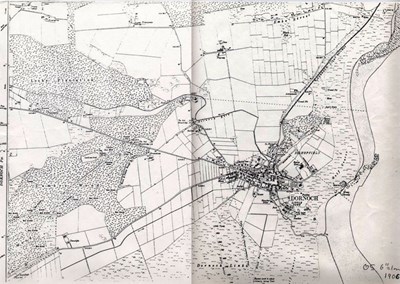 Pic 13174: Dornoch Parish map 1906
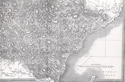 Pic 13175: 'Murray' (Moray) Frith (sic)
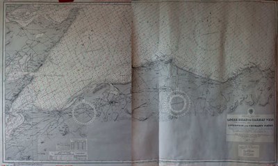
 Pic 13176: Map of the 'Road from Tain to Wick' 1776
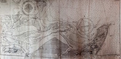
 Pic 13177: Loggie Head to Tarbat maritime chart
 Pic 13178: Chart of the Dornoch Firth No. 2170
 Pic 13179: Chart of the Dornoch Firth No. 2170
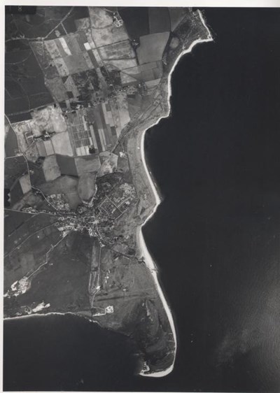
 Pic 13180: Aerial photograph of Dornoch and Embo
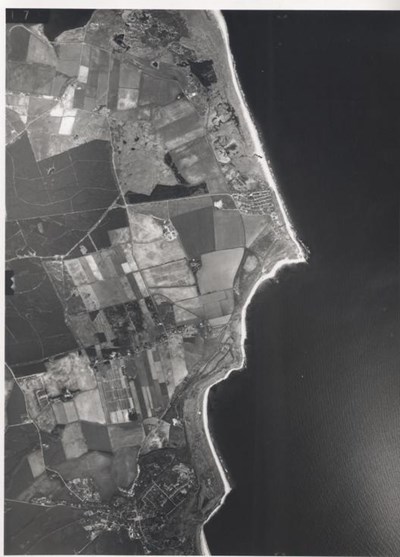
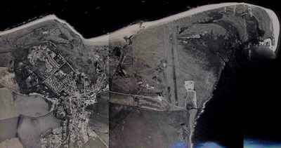 Pic 13181: Aerial photograph of Dornoch and Embo
 Pic 13182: Damage to Ospisdale Standing Stone
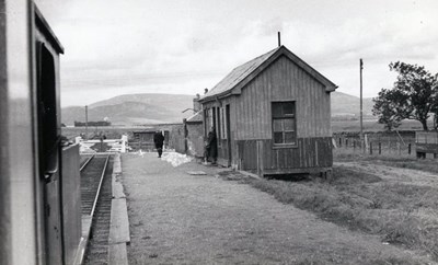
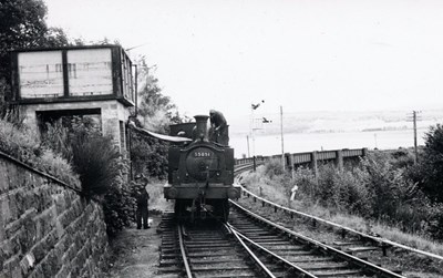
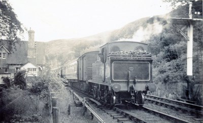 Pic 13183: Dornoch train at the Mound Station
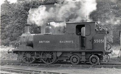
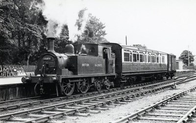
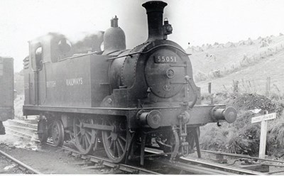 Pic 13184: Locomotive 55051
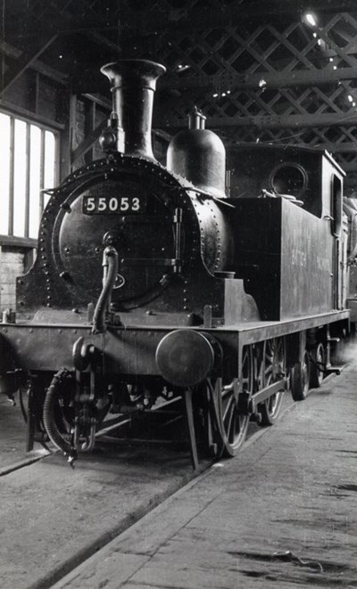
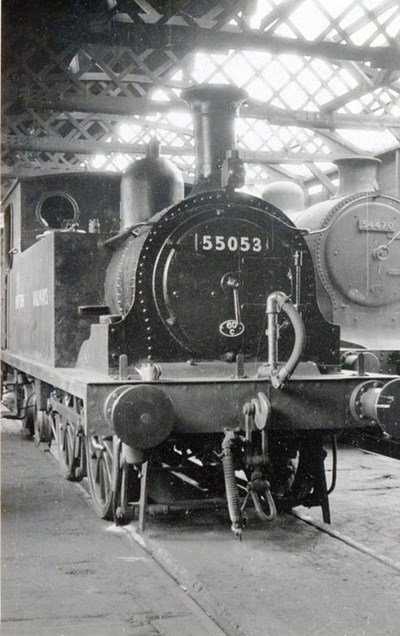 Pic 13185: Locomotive 55053 in Helmsdale Shed
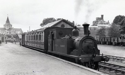
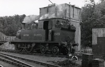
 Pic 13186: Locomotive 55051 in Dornoch siding
 Pic 13187: Locomotive 55053 in Helmsdale Shed
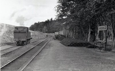
 Pic 13188: Embo Station stop of Dornoch to Mound 1 p.m. train
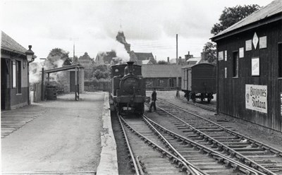
 Pic 13189: Dornoch Station 1 p.m. train to the Mound
 Pic 13190: Locomotive 55051 at Dornoch sidings
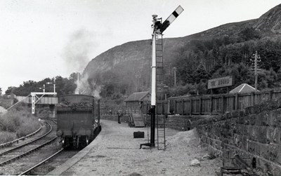 Pic 13191: The Mound 11.55 a.m. to Dornoch
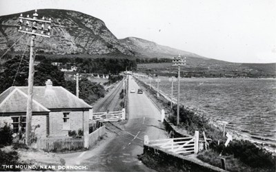 Pic 13192: Postcard of 'The Mound near Dornoch'
 Pic 13193: Locomotive 55051 at Dornoch station platform
 Pic 13194: The Mound 55051 taking on water
 Pic 13195: Locomotive 55051 on 1 p.m to the Mound
 Pic 13196: Dornoch platform+northern line (55051 in siding)