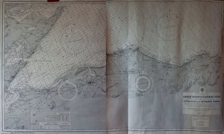
Loggie Head to Tarbat maritime chart
Date Added: 11 November 2016
Year Range: 1776 - 1960
Institution Name: dnhhl
Cat No: ◀ | 2016_030_10 | ▶
Picture No: 13177
Maritime navigation chart with title at bottom right 'Loggie Head to Tarbat Ness - Inverness and Cromarty Firths'. In red font at bottom left is the additional description 'Decca Chart - Chain 6C/MP (N Scottish)'. The large chart is in two halves.
Dimensions: Width 420mm - Height 295mm
Comments
Form Goes Here