Chart of the Dornoch Firth No. 2170
Date Added: 11 November 2016
Year Range: 1980 - 1990
Institution Name: dnhhl
Cat No: ◀ | 2016_030_12 | ▶
Picture No: 13179
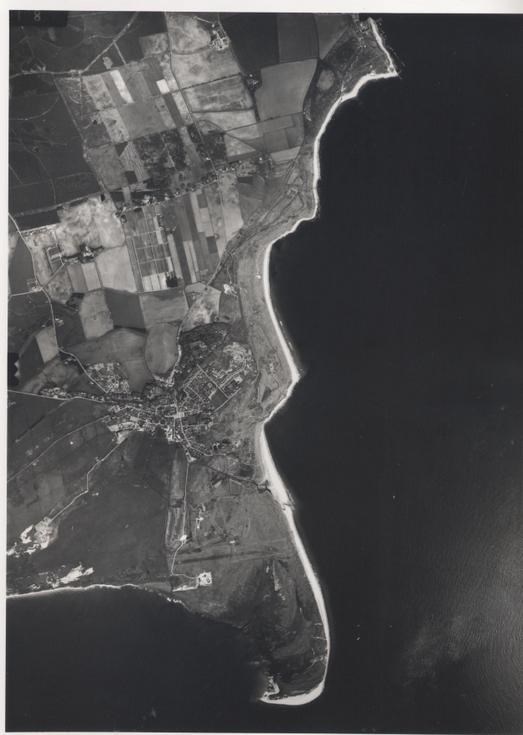
Monochrome aerial photograph showing the coastline and immediate inland area, extending from Grannies Hieghland Home, Embo to Dornoch Point
Dimensions: Width 290mm - Height 300 mm
Comments
Form Goes Here