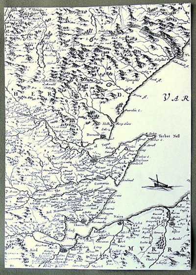
 Pic 10728: Part of detailed Blaeu map 1653
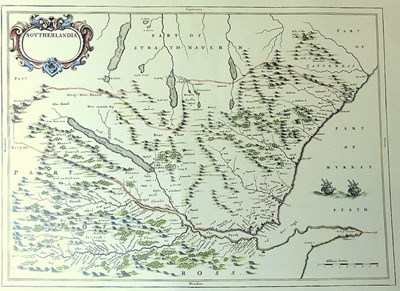
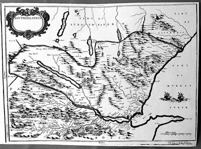 Pic 10729: Blaeu map of Sutherland 1654
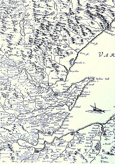 Pic 10730: Blaeu map of Sutherland 1654 - enlargement
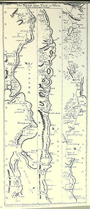 Pic 10732: Tain to Wick road map 1776
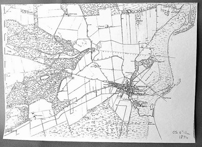 Pic 10733: Dornoch area 6" OS 1874
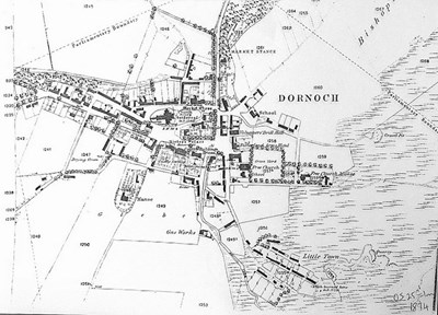 Pic 10734: Dornoch area 25" OS 1874
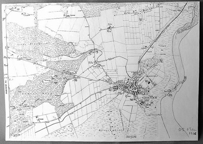 Pic 10735: Dornoch area 6" OS 1906
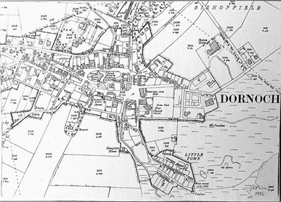 Pic 10736: Dornoch area 25" OS 1906
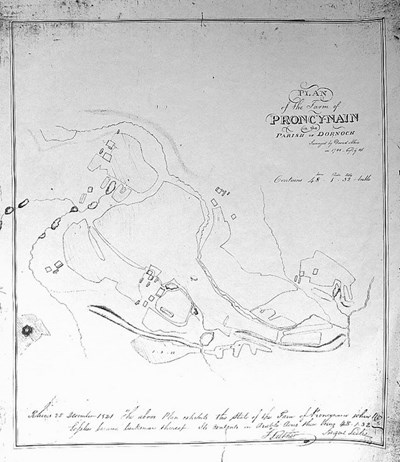 Pic 10740: Proncynain 1786
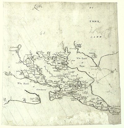
 Pic 10744: 17th century map of Sutherland
 Pic 10748: Pont's map of Easter Ross
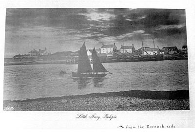 Pic 10823: Little Ferry village with 6 fishing boats
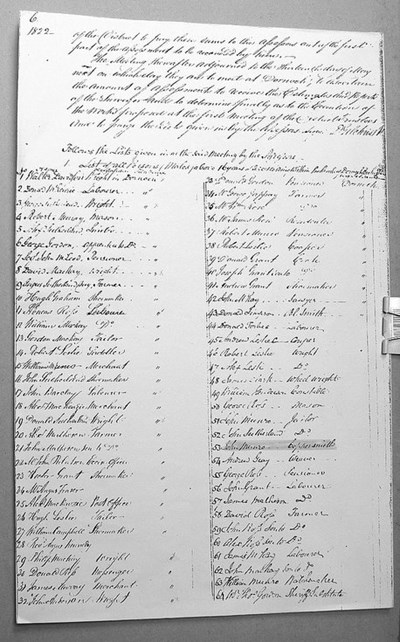 Pic 10830: Parish commutation roll 1822
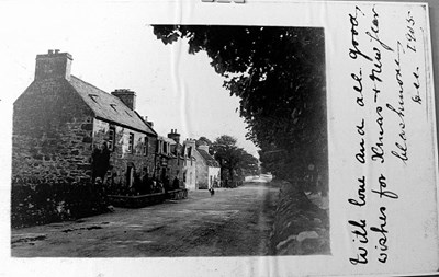 Pic 10857: Clashmore 1905
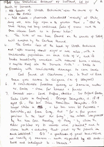 Pic 11061: 1834 New Statistical Account of Scotland Vol XV -Parish of Dornoch
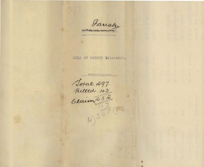 Pic 11529: Royal Burgh of Dornoch Service List 1914-1918
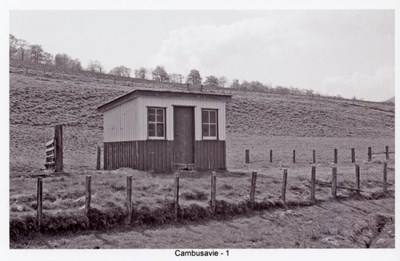 Pic 13425: Dornoch Light Railway - Cambusavie Station
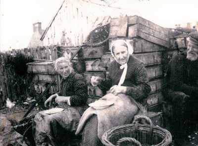 Pic 13716: Embo women baiting lines
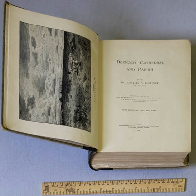 Pic 15845: Volume of Dornoch Cathedral and Parish