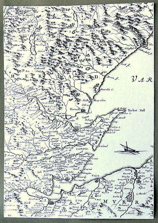
Part of detailed Blaeu map 1653
Date Added: 12 February 2012
Year: 1653
Institution Name: dnhhl
Cat No: ◀ | 2003_232_003 | ▶
Picture No: 10728
Part of a detailed map of the Moray Firth area, Blaeu 1653. One of 12 photocopied maps from Inverness Library. 2 copies.
Dimensions: A4
Comments
Form Goes Here