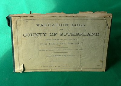
 Pic 8414: Valuation Roll 1947
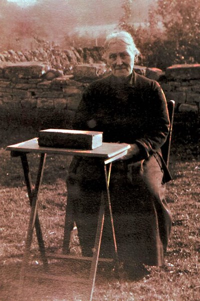 Pic 9365: Mrs John Omand
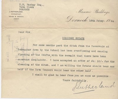 Pic 9920: Letter re. flooding at Birichen 1924
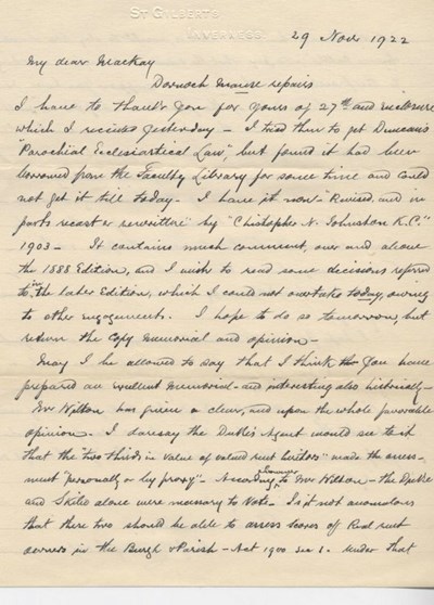
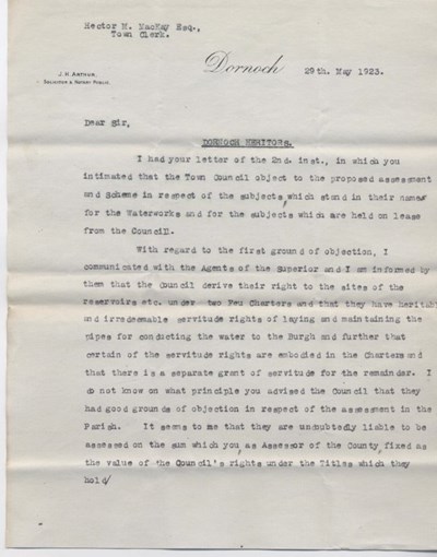 Pic 9966: Letter re. heritors' assessment 1923
 Pic 9969: Letter from G. Campbell re. repairs to Manse 1922
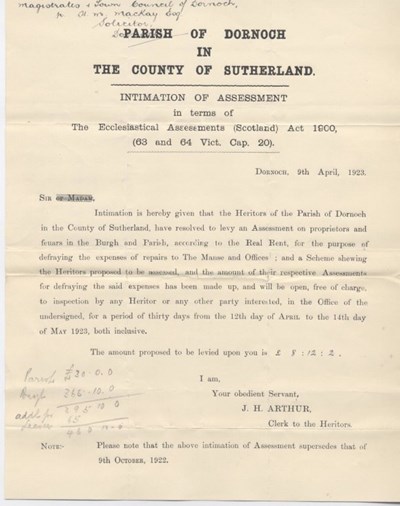 Pic 9970: Parish of Dornoch Ecclesiastical Assessment 1923
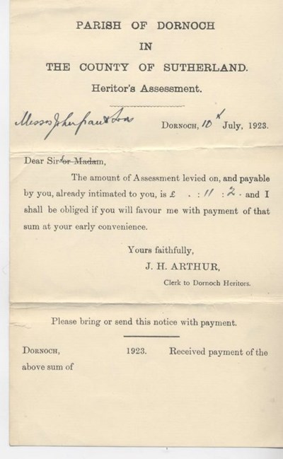 Pic 9971: Bundle of heritor's assessments 1923
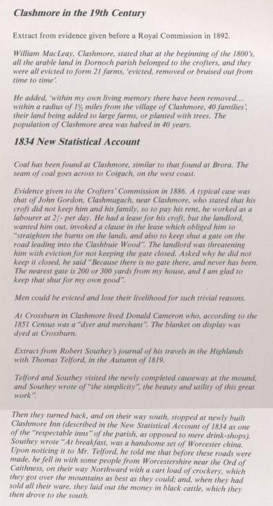 Pic 10033: Clashmore in the 19th century
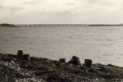 Pic 10087: Dornoch Firth Bridge and remains of pier at Newton Point
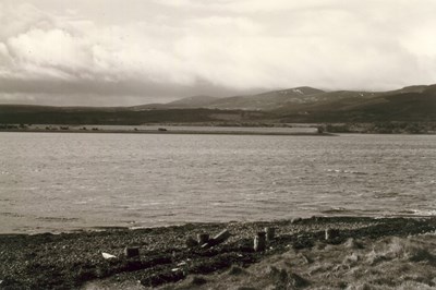
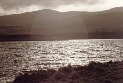 Pic 10088: View south of Newton Point
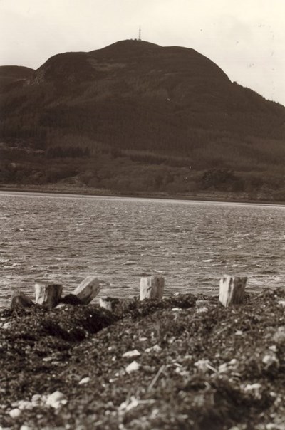 Pic 10089: Remains of pier at Newton Point and Struie with radio mast at summit
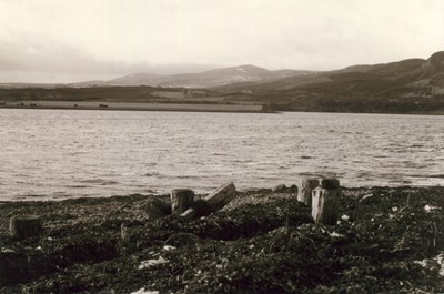 Pic 10090: Remains of pier and view south at Newton Point
 Pic 10091: Remains of pier and view of Dornoch Firth at Newton Point
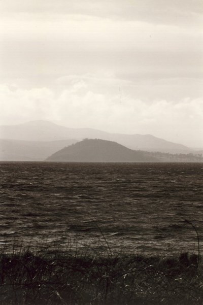 Pic 10098: Dun of Creich viewed across the waters of the Dornoch Firth
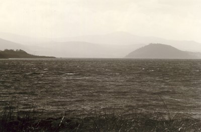 Pic 10099: Dun of Creich and south shore of the Dornoch Firth
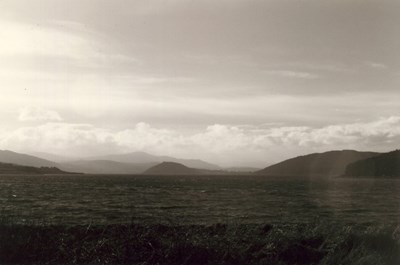 Pic 10100: Dun of Creich and west of the Kyle of Sutherland
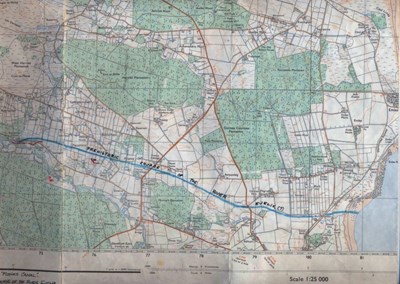 Pic 10668: Loch Fleet and Embo OS 1:25000
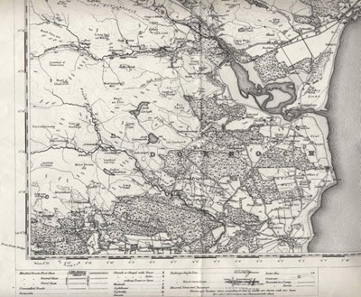 Pic 10669: Reprint of first edition OS map of Golspie area
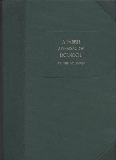 Pic 10673: A Parish Appraisal of Dornoch - bound version
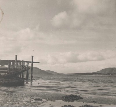 Pic 10674: Photograph of Loch Fleet from quay on south side of Littleferry
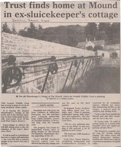 Pic 10683: Mound cottage
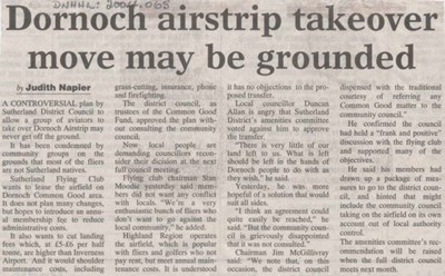 Pic 10684: Dornoch airstrip
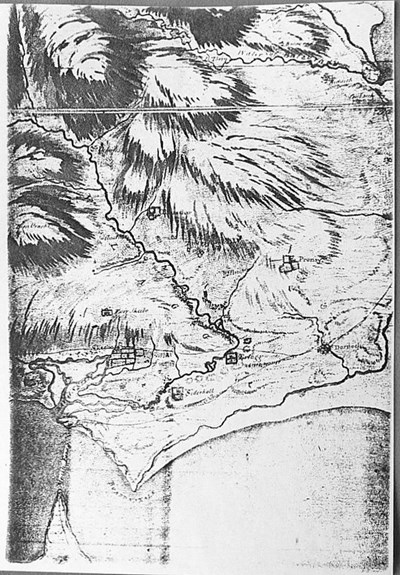 Pic 10726: Early map of Dornoch area
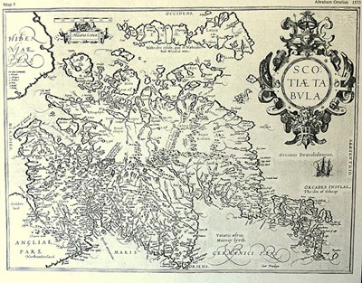 Pic 10727: Ortelius map of Scotland 1573