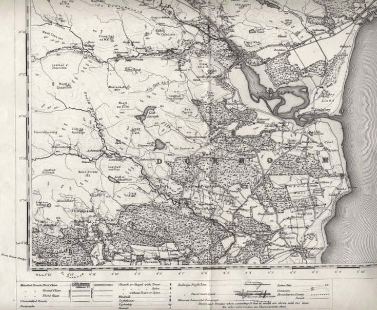
Reprint of first edition OS map of Golspie area
Date Added: 01 February 2012
Year: 1966
Institution Name: dnhhl
Cat No: ◀ | 2004_048 | ▶
Picture No: 10669
Reprint of 1" 1st edition OS map revised to 1896, from Helmsdale in north to Dornoch in south. Loose between two orange covers in plastic folder.
Dimensions: Height 557mm - Width 707mm
Comments
Form Goes Here