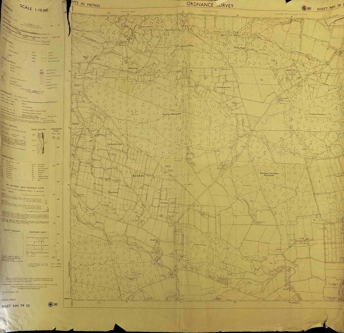
Ordnance Survey Map Sheet NH79 SE Birichen Area
Date Added: 22 March 2023
Year: 1976
Institution Name: dnhhl
Cat No: ◀ | 2023_007_02 | ▶
Picture No: 15259
Ordnance Survey Map Sheet NH79 SE Birichen Area showing Harriet, Duchess, Countess, Murray's and Fourpenny Plantations. The map is of flimsy paper and is torn. Published in 1976.
Dimensions: Width 640 mm - Length 580 mm
Comments
Form Goes Here