Ordnance Survey Map Sheet NH89 SW Embo Area
Date Added: 22 March 2023
Year: 1960
Institution Name: dnhhl
Cat No: ◀ | 2023_007_01 | ▶
Picture No: 15258
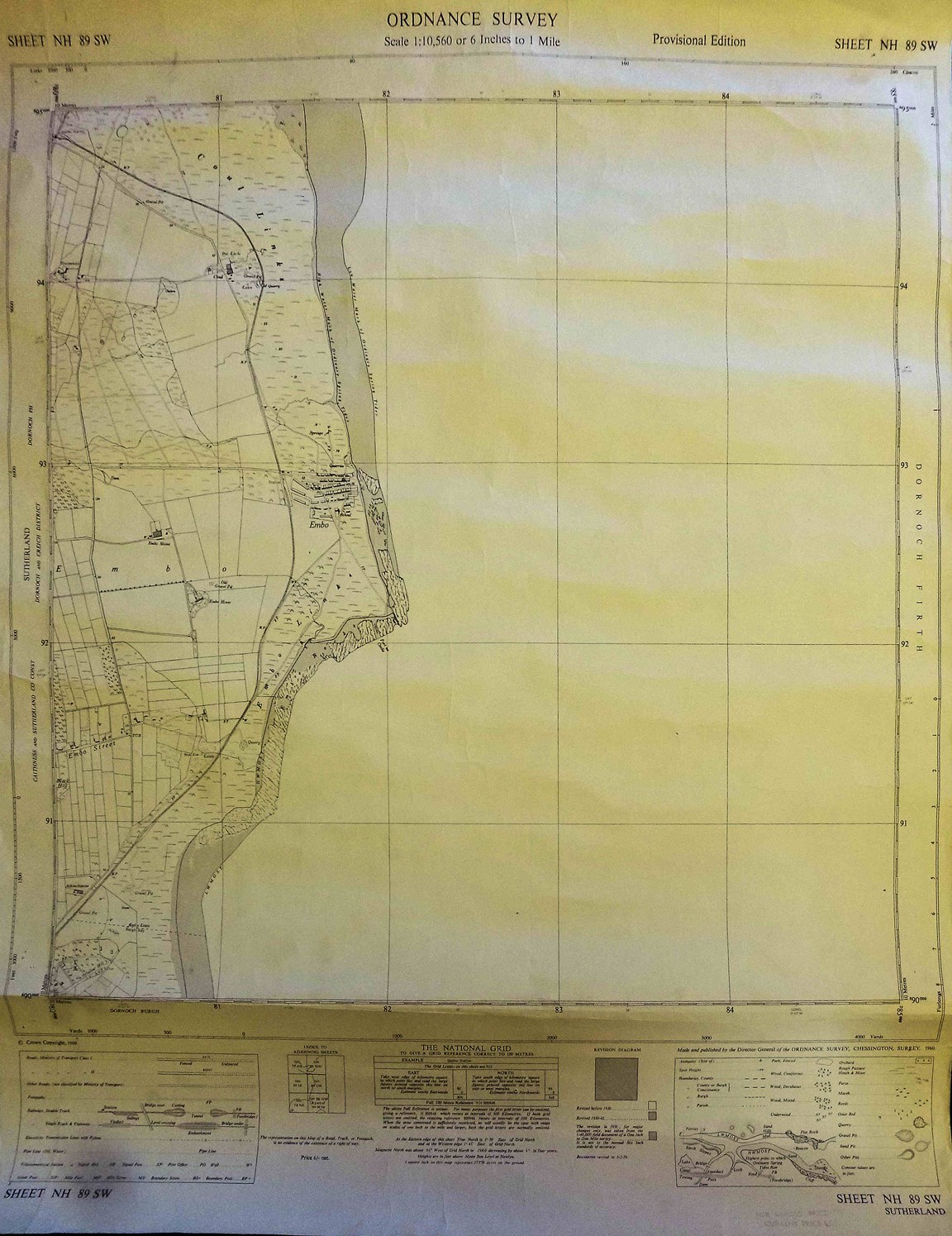
First of a set of six Ordnance Survey Maps. The first Sheet NH89 SW shows the Embo area with coastline at Scale 1:10,650 or 6 inches to 1 mile. The heading shows that it was a 'Provisional Edition' and in the detail at the foot it was published in 1960 priced at 6/- (six shillings).
Dimensions: Width 545 mm - Length 660mm
Comments
Form Goes Here