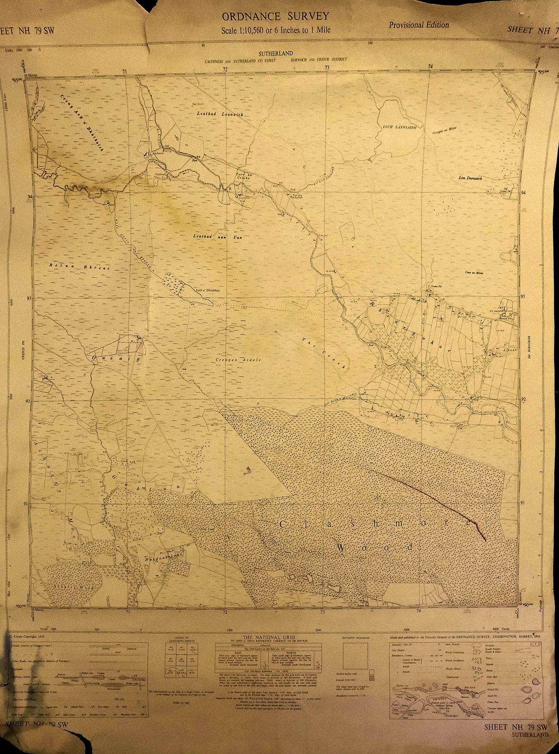
Ordnance Survey Map Sheet NH79 SW Rearquhar Area
Date Added: 22 March 2023
Year: 1959
Institution Name: dnhhl
Cat No: ◀ | 2023_007_03 | ▶
Picture No: 15260
Ordnance Survey Map Sheet NH79 SW Rearquhar area showing Clashmore Wood. The map is badly torn from top left of centre to mid-point below. It is scale 1:10,560 or 6 inches to 1 mile and marked at top right 'Provisional Edition published in 1959.
Dimensions: Width 530 mm - Length 665 mm
Comments
Form Goes Here