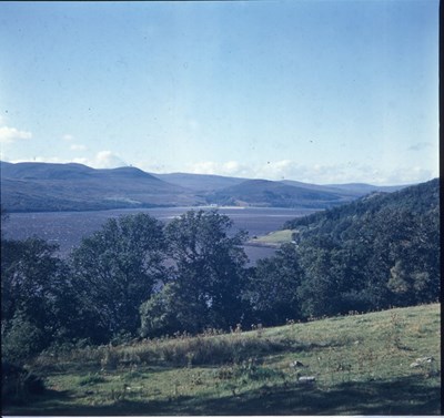
 Pic 14359: Photograph of Kyle of Sutherland view
 Pic 14360: Photograph of a Sutherland view
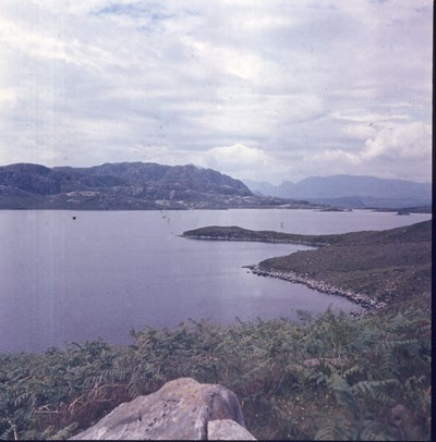
 Pic 14362: Photograph of a Sutherland loch
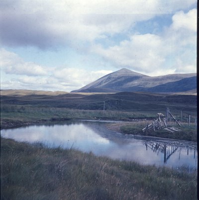
 Pic 14363: Photograph of Sutherland view
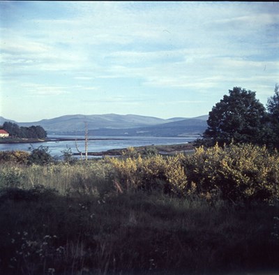
 Pic 14364: Sutherland view photograph
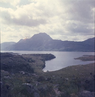
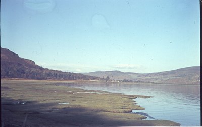 Pic 14368: Loch Brora view
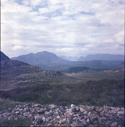
 Pic 14369: Typical moorland view in Sutherland
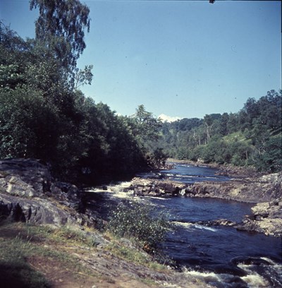 Pic 14370: A highland rocky river bed
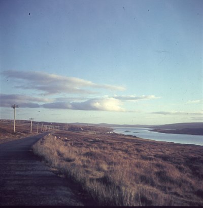
 Pic 14371: A loch view
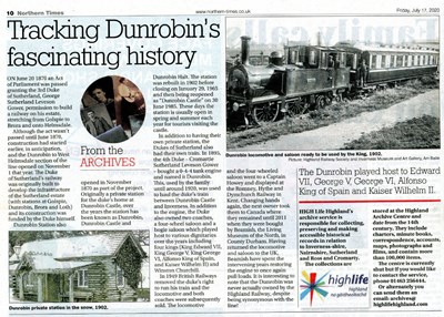 Pic 14453: Tracking Dunrobin's fascinating history
 Pic 14599: County of Sutherland Notes on Survey of Local Conditions
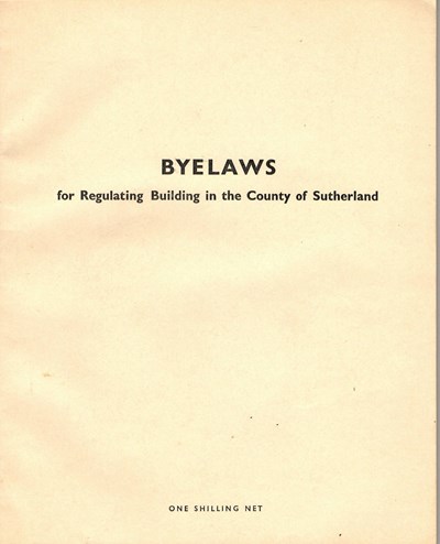 Pic 14600: Byelaws for Regulating Building in the County of Sutherland
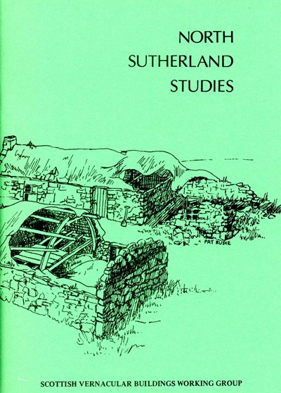 Pic 14722: Booklet - 'North Sutherland Studies'
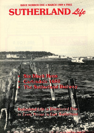 Pic 14724: 'Sutherland Life'
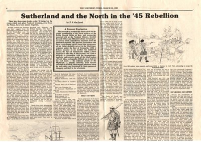 Pic 14726: 'Sutherland and the North in the '45 Rebellion'
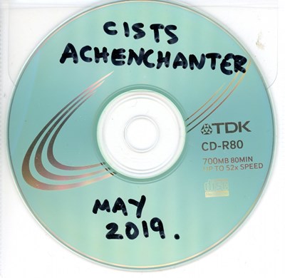 Pic 14731: Cists around Achenchanter
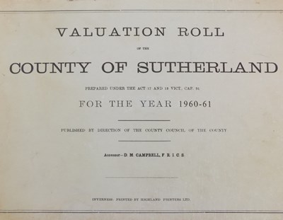 Pic 14759: Valuation roll of the County of Sutherland 1960-1961
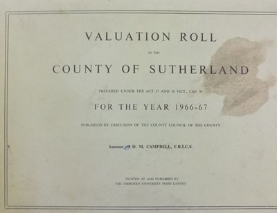 Pic 14760: Valuation roll of the County of Sutherland 1966-1967
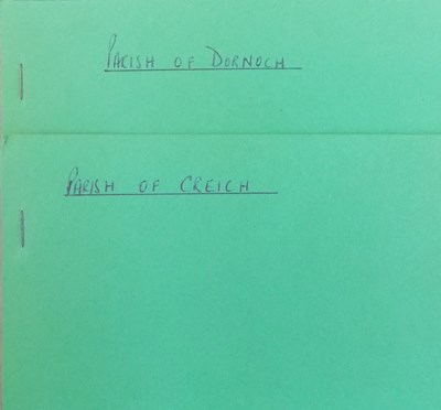 Pic 14761: Valuation rolls of the Parish of Dornoch and the Parish of Creich, 1972-1973.
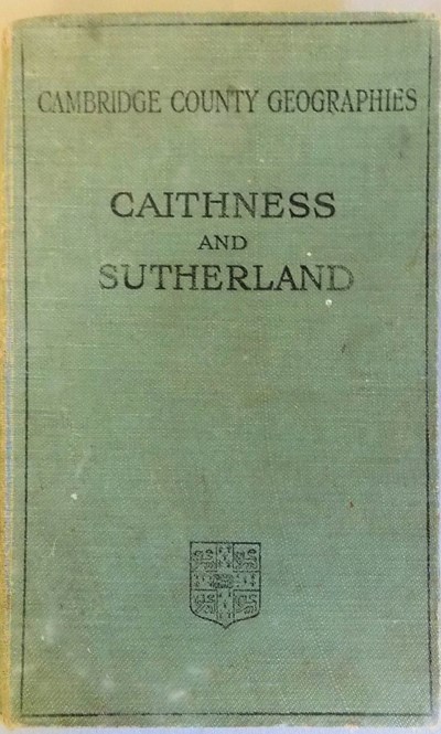 Pic 14796: Caithness and Sutherland (Cambridge County Geographics)
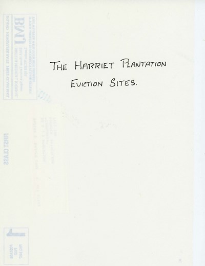 Pic 14988: The Harriet Plantation Eviction Sites
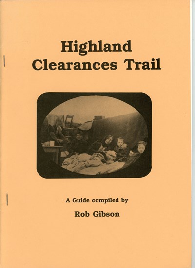 Pic 14989: Highland Clearances Trail
 Pic 14990: Scottish Development Department Ancient Monuments Report
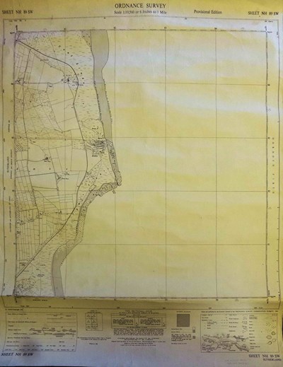 Pic 15258: Ordnance Survey Map Sheet NH89 SW Embo Area