Map of Sutherland Shire
Date Added: 08 March 2009
Year: 1800
Institution Name: dnhhl
Cat No: ◀ | 2001_313_002 | ▶
Picture No: 7196
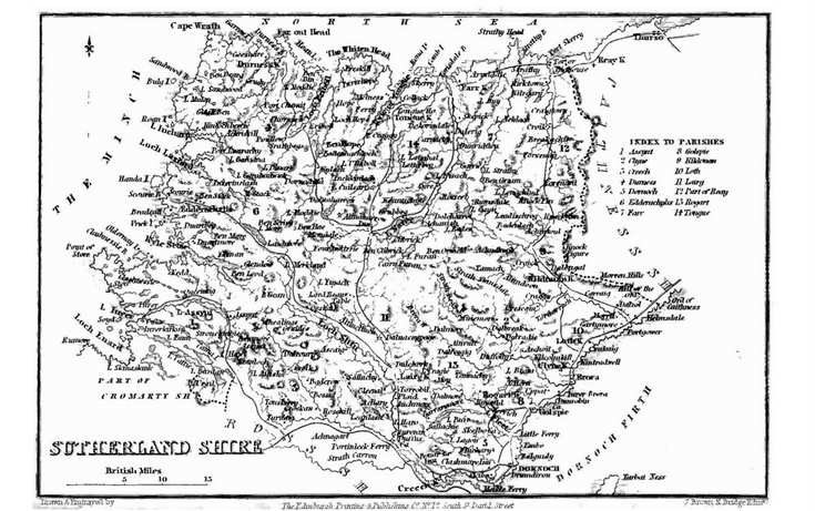
Map of Sutherland, probably early 19th century, out of a book. Churches and parishes marked. Inside 2001_313_001
Dimensions: Height 105 mm - Width 175 mm
Comments
Form Goes Here