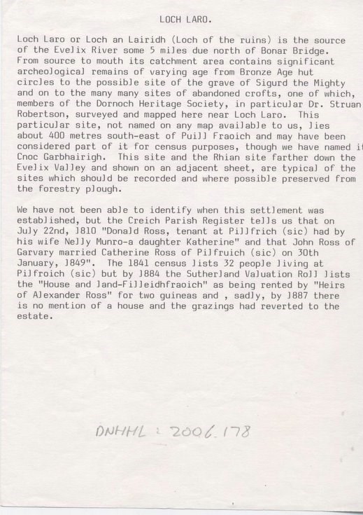
Loch Laro archaeological survey
Date Added: 26 September 2008
Year: 1988
Institution Name: dnhhl
Cat No: ◀ | 2006_178 | ▶
Picture No: 4920
A3 photocopies of two 6 inch to 1 mile maps dated 1907 and 1874 showing the changes that had taken place in settlement in the Loch Laro area (source of the Evelix River), plus a sketch of a grain drying kiln. Further A4 photocopy of a description of the site by G J Douglas and Jane Durham, dated 1986-7. Photocopy of an A5 page typed 'record card' for the site with an accompanying letter on headed paper 'The Royal Commission on the Ancient and Historical Monuments of Scotland' dated 2:11:1988, to Jimmy Bell signed by Graham Douglas
Dimensions: A3
Comments
Form Goes Here