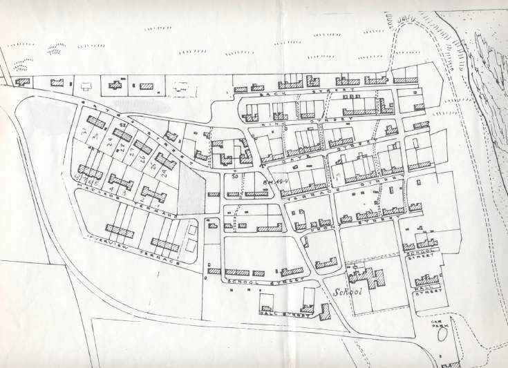
Map of Embo
Date Added: 24 April 2008
Year Range: 1980 - 1990
Institution Name: dnhhl
Cat No: ◀ | 2007_187_01 | ▶
Picture No: 3320
Photocopy of a large scale map of Embo showing all the houses. Three hand-written additions, showing two new houses, a play park and some lanscaping, have been blanked out.
Dimensions: A3
Comments
Form Goes Here