Meikle Ferry
Date Added: 24 April 2008
Year: 2005
Institution Name: dnhhl
Cat No: ◀ | 2006_092 | ▶
Picture No: 2182
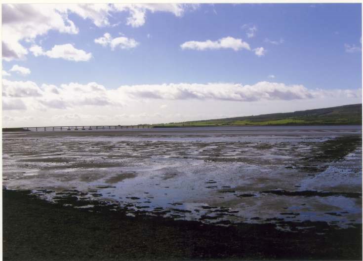
A set of three colour photographs, taken from 400m east of Meikle Ferry north pier (grid ref NH732 872), showing foundations underwater of an old slipway. The first is a general view of the location of the slipway, including the Dornoch Firth bridge. The additional two images of the north bank slipway can be accessed from the pdf link below.
Dimensions: Length 150mm - Width 99mm
Comments
Form Goes Here