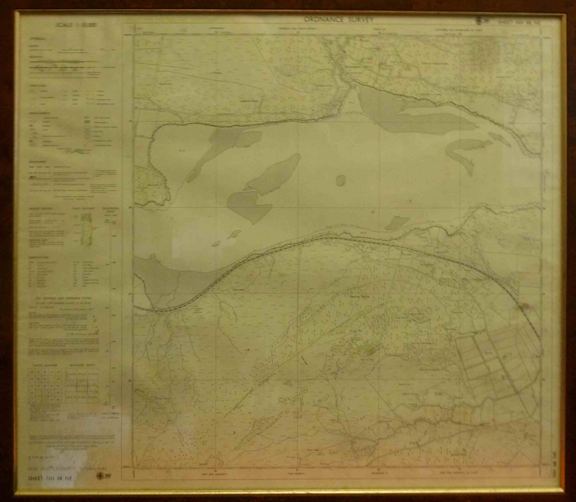
Ordnance Survey Map NH68NE Spinningdale
Date Added: 29 March 2023
Year: 1971
Institution Name: dnhhl
Cat No: ◀ | 2023_008 | ▶
Picture No: 15265
Framed Ordnance Survey Map NH68NE of the Kyle of Sutherland - Spinningdale to Struie.
Dimensions: Width 720mm - Height 600mm - Depth 15mm
Comments
Form Goes Here