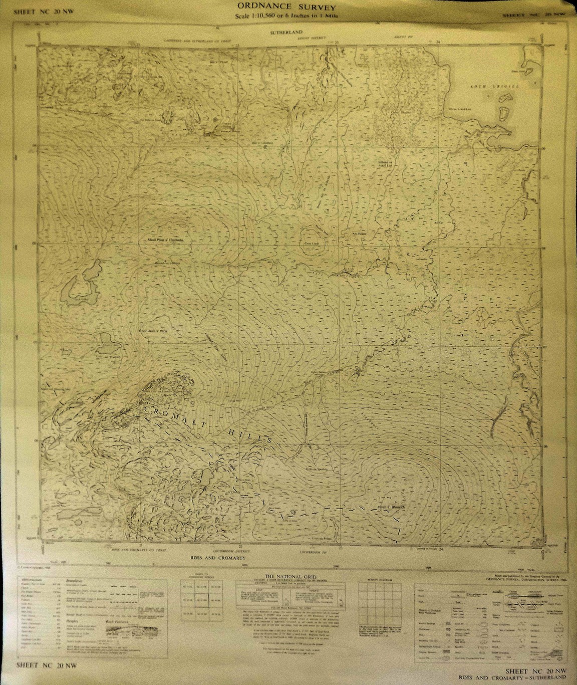
Ordnance Survey Map Sheet NC 20 NW Cromarty Hills
Date Added: 22 March 2023
Year: 1966
Institution Name: dnhhl
Cat No: ◀ | 2023_007_06 | ▶
Picture No: 15263
Ordnance Survey Map Sheet NC 20 NW of the Cromarty Hills to Loch Urigill at scale 1:10,560 or 6 inches to 1 mile, published in 1966
Dimensions: Width 550 mm - Length 670 mm
Comments
Form Goes Here