Ordnance Survey Quarter Inch Map of Scotland, North
Date Added: 24 June 2012
Year: 1946
Institution Name: dnhhl
Cat No: ◀ | 2012_030_02 | ▶
Picture No: 11176
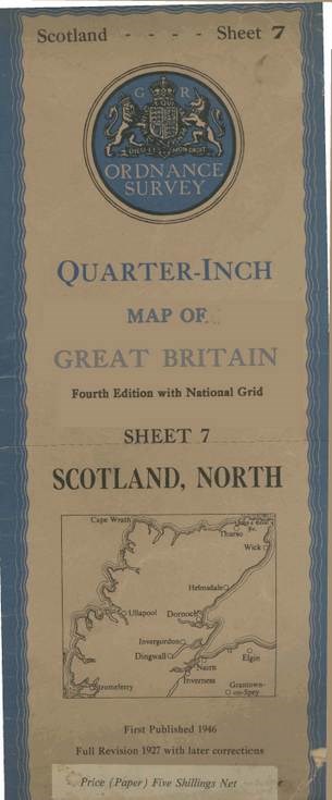
Ordnance Survey Quarter Inch Map of Great Britain Fourth Edition with National Grid, Sheet 7 Scotland, North. The cover, with a blue border, shows an outline map of the North of Scotland and has a label showing the price 'Five Shillings Net'. First published 1946, from a revised survey of 1927 with later corrections, showing map contours.
Dimensions: Length 312mm - Width 127mm
Comments
Form Goes Here