Census enumeration areas
Date Added: 27 February 2009
Year: 2009
Institution Name: dnhhl
Cat No: ◀ | 2004_061 | ▶
Picture No: 6936
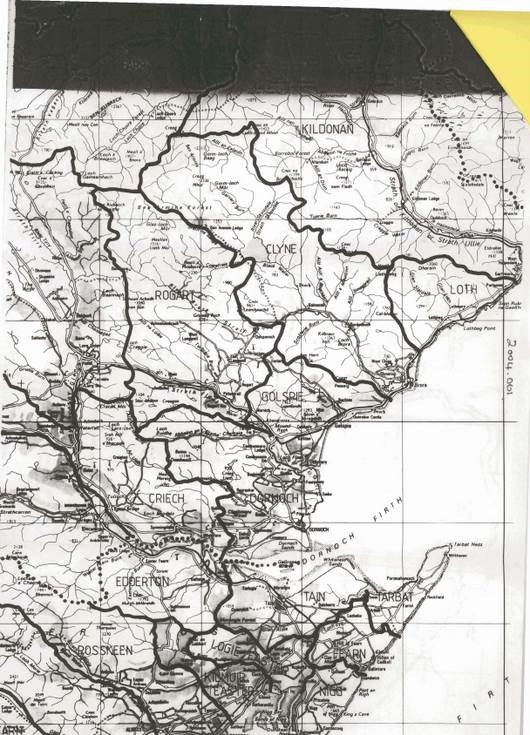
Set of four copies of maps, outlining enumeration areas for the Dornoch census.
Audit 01 - there are 6 maps, 3 stapled together, 1 small slip of paper with information regarding the enumeration designation of Rearquhar and 3 separate maps - 1 of which is a street map of Dornoch. Areas are highlighted with coloured pens
Dimensions: A4 A3
Comments
Form Goes Here