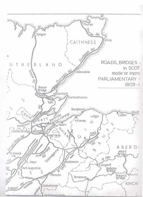
Map of Roads and Bridges c.1803 in N.E. Scotland
Date Added: 24 April 2008
Year Range: 1803 - 1820
Institution Name: dnhhl
Cat No: ◀ | 2008_008_01 | ▶
Picture No: 3675
A single page copy of a map of roads and bridges in NE Scotland, built or improved in the period from c. 1803 to ?
Dimensions: A4
Comments
Form Goes Here