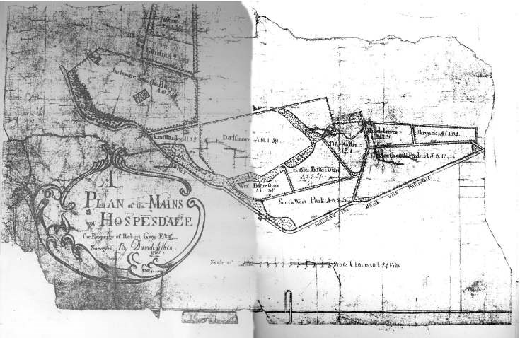
Map of Ospisdale
Date Added: 24 April 2008
Year: 1765
Institution Name: dnhhl
Cat No: ◀ | 2001_416 | ▶
Picture No: 325
Copy of Plan of the Mains of Hospesdale (Ospisdale). The property of Robert Gray Esq. Surveyed by David Aitken. Mounted on board.
Dimensions: Width 430 mm - Height 314 mm
Comments
Form Goes Here