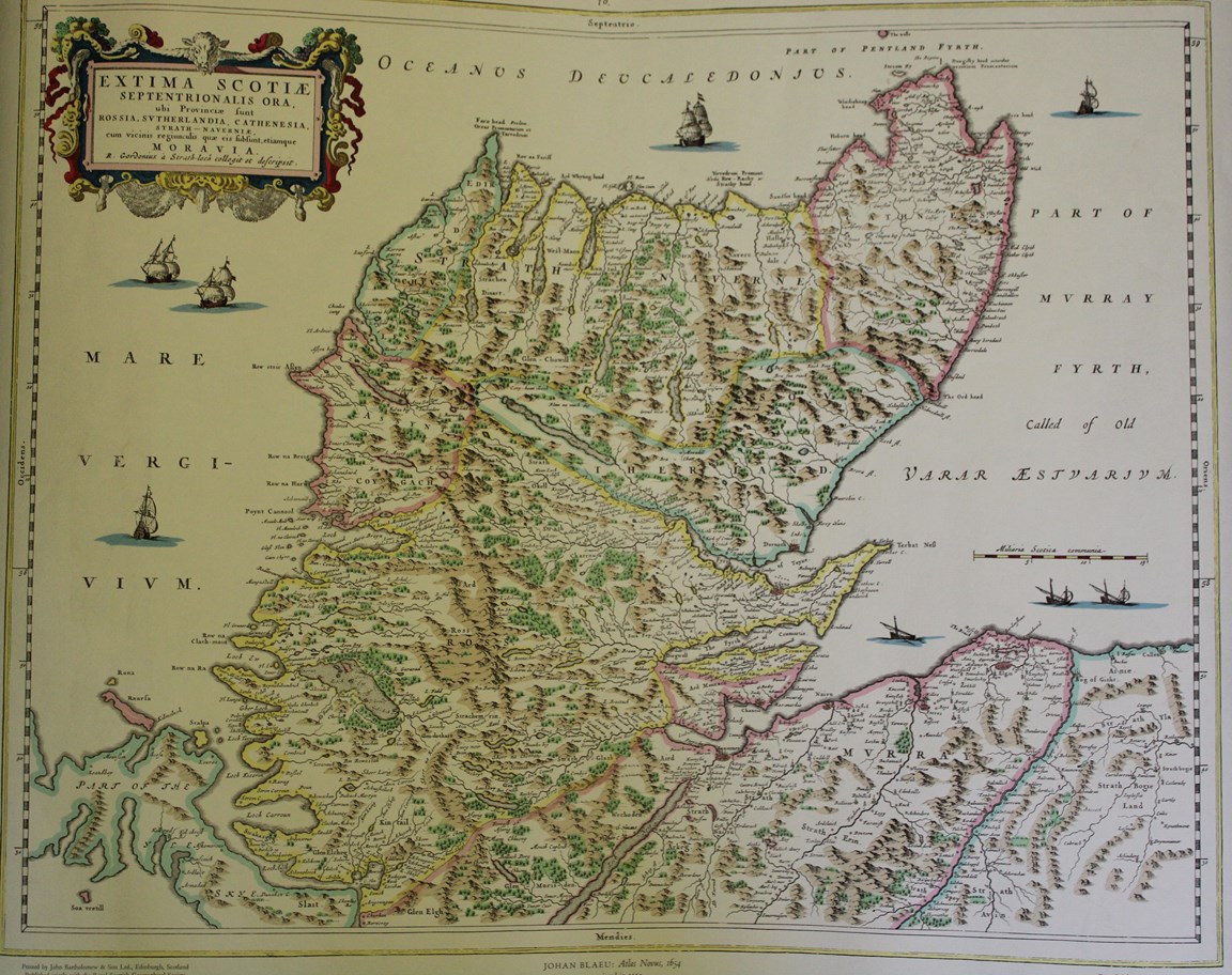
Map of Caithness and Sutherland
Date Added: 04 July 2025
Year: 1800
Institution Name: dnhhl
Cat No: ◀ | 2025_068_36 | ▶
Picture No: 17291
Coloured ancient map of Caithness and Sutherland.
A pdf copy of the map can be accessed using the pdf link below.
Dimensions: Width 630mm depth 505mm
Comments
Form Goes Here