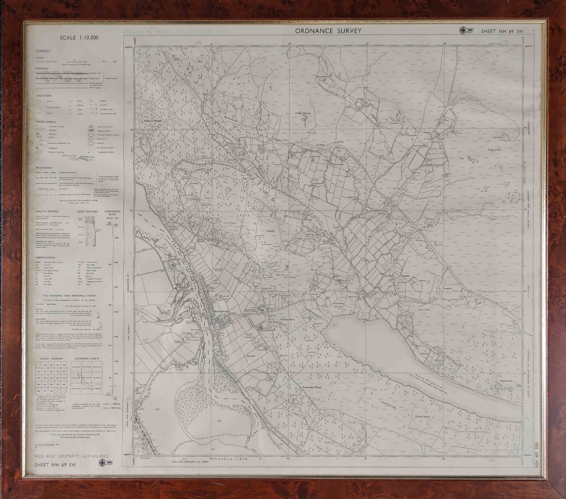
Ordnance Survey Map sheet 69SW framed
Date Added: 02 November 2022
Year: 1971
Institution Name: dnhhl
Cat No: ◀ | 2022_093_03 | ▶
Picture No: 15202
Ordnance Survey Map sheet 69SW framed - including Bonar Bridge and Loch Migdale
Dimensions: Length725 mm - Height 610 mm
Comments
Form Goes Here