Bartholomews Map of Sutherland 59
Date Added: 15 May 2019
Year: 1960
Institution Name: dnhhl
Cat No: ◀ | 2019_009 | ▶
Picture No: 13962
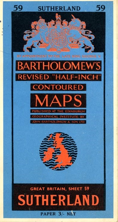
A Bartholomews Revised Half-Inch Contoured Maps Great Britain Sheet 59 Sutherland, published by the Edinburgh Geographical Institute by John Bartholomews & Son Ltd, Paper 3/- Net. The heights shown on the map are in feet and depths in fathoms and it was published in 1960.
Dimensions: Length 200 mm - Width 110 mm thickness 4 mm
Comments
Form Goes Here