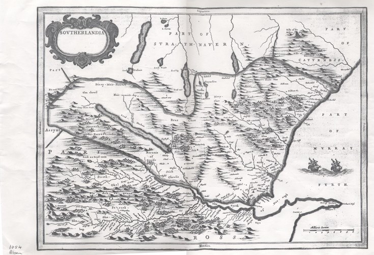
Map of Southlandia
Date Added: 11 November 2016
Year: 1950
Institution Name: dnhhl
Cat No: ◀ | 2016_030_04 | ▶
Picture No: 13171
Photocopy of map with title 'Southlandia' showing the southern part of the county adjoining 'The Fyrth of Dornoch' with the northern part of the map inscribed 'Part of Strathnaver' and 'Part of Caithness'. There is a handwritten date at bottom left 1654.
Dimensions: Width 420 mm - Length295 mm
Comments
Form Goes Here