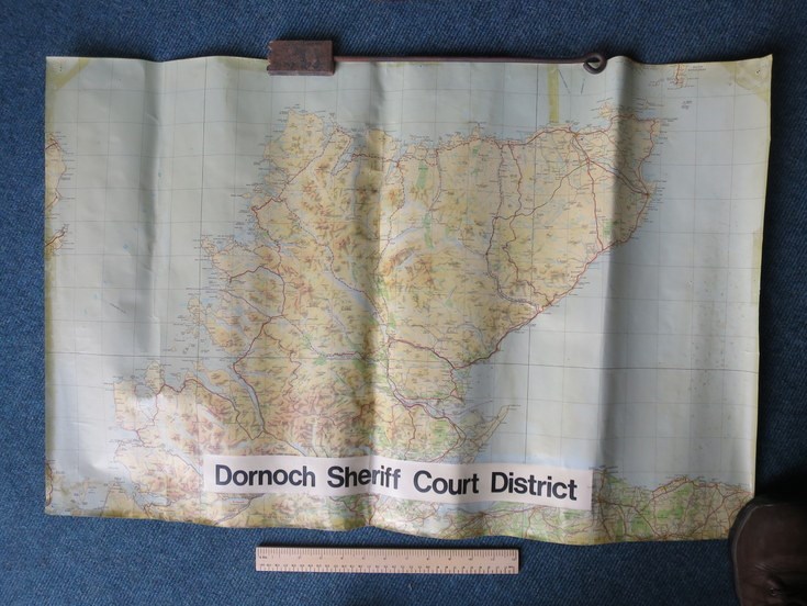
Map of Dornoch Sheriff Court District
Date Added: 14 December 2014
Year: 1980
Institution Name: dnhhl
Cat No: ◀ | 2014_039_09 | ▶
Picture No: 12145
Colour Ordnance Survey map with a central applied label entitled 'Dornoch Sheriff Court District.' The map is a pre-1991 version, there is pencil annotation of the Dornoch Firth Bridge.
Dimensions: Length 876 mm - Width 580 mm
Comments
Form Goes Here