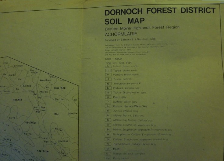
Achormlarie soil map
Date Added: 09 March 2012
Year: 1988
Institution Name: dnhhl
Cat No: ◀ | 2001_009_001 | ▶
Picture No: 10967
Forestry Commission soil map of Dornoch Forest District, Achormarlie.
[Map is 905 mm x 565 mm - only top right section shown]
Dimensions: Width 905 mm - Height 565 mm
Comments
Form Goes Here