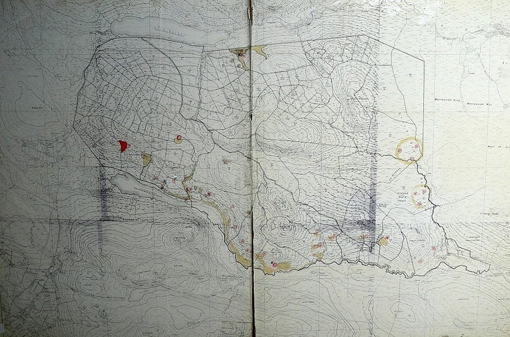
Map of Achormlarie archaeological sites
Date Added: 02 March 2012
Year: 1980
Institution Name: dnhhl
Cat No: ◀ | 2007_076 | ▶
Picture No: 10940
Map mounted on board based on Ordnance Survey 6in = 1 mile series giving numbered archaeological sites marked with red circles in the Evelix Valley area between Loch an Lagain and Creagan Dubh
Dimensions: Length1012 mm - Width 660 mm
Groups: Archaeology
Comments
Form Goes Here