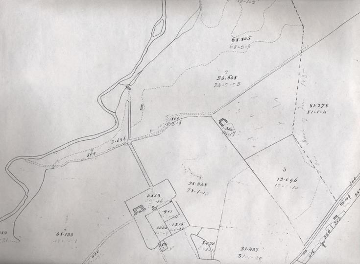
Cyderhall/Sidera 1829 map
Date Added: 22 February 2012
Year: 1829
Institution Name: dnhhl
Cat No: ◀ | 2003_290 | ▶
Picture No: 10815
Plan of lands at Cyderhall/Sidera 1829.
Dimensions: Height 418mm - Width 590mm
Comments
Form Goes Here