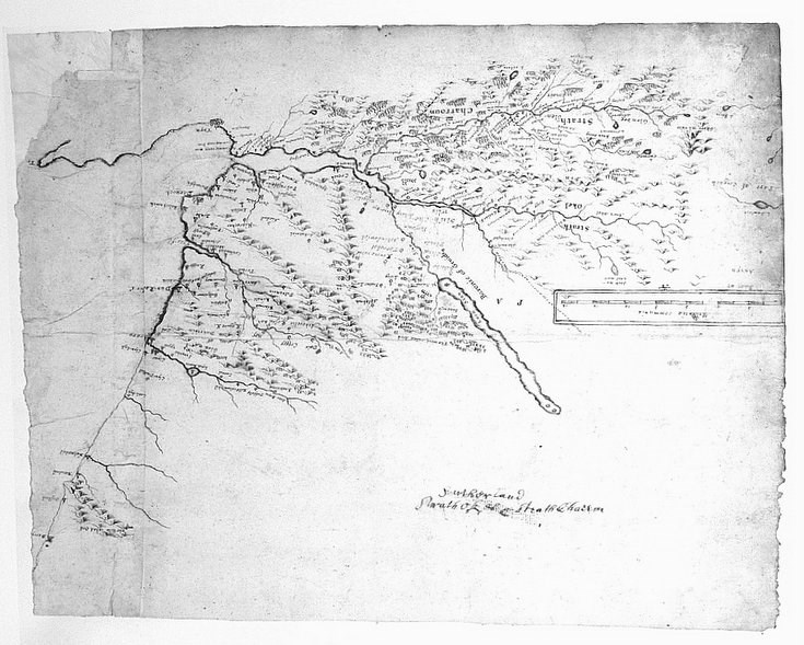
Pont's map of Strathoykel and Strathcarron
Date Added: 12 February 2012
Year: 1650
Institution Name: dnhhl
Cat No: ◀ | 2004_015_002 | ▶
Picture No: 10749
Copy of Pont's map of Strathoykel and Strathcarron. 0280 Gordon 10 Adv. Ms.70.2.10. © Copyright NLS.
Dimensions: Height 308mm - Width 380mm
Comments
Form Goes Here